The following photos and commentary are from Steve Wilson who is an avid bicyclist - thus, they reflect his bicycling interest. However, he has also taken many photos that may be of interest to climbers. (Note: I sent Steve an e-mail and asked him if he had any more photos around the Windy Point area. He sent nine addition photos. They are appended at the bottom of the page.)
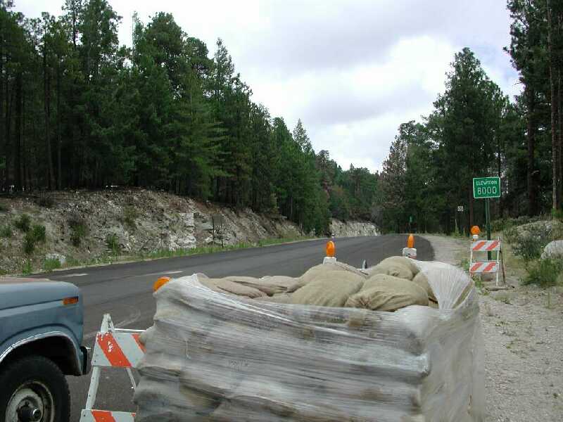
Fellow cyclists - Many of you share my curiosity as to the actual conditions of the forest along Mt. Lemmon Hwy after the Aspen Fire. I had a chance to volunteer moving sandbags on Friday in Summerhaven and I took along my camera to record what I saw. I found it really difficult to sort through the hyped up news reports and determine the true extent of the damage and wanted to see it for myself. Here's what I found.
Unlike the fire last year, this one left a sizeable visual impact. Overall, though, I would have to say that things looked much better than I expected up in the pines, and a little worse than expected lower down in the mixed oak woodland. The number one safety hazard on the mountain right now is the large number of damaged guardrails. The metal survived fine, but we saw many, many stretches of guardrail where the wooden posts were incinerated leaving the guardrail laying on the ground. See pic 01.
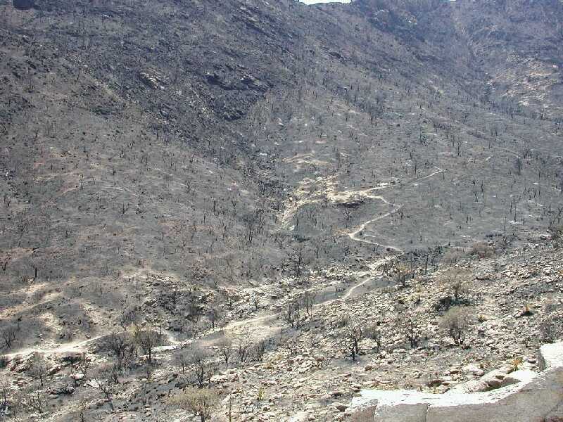
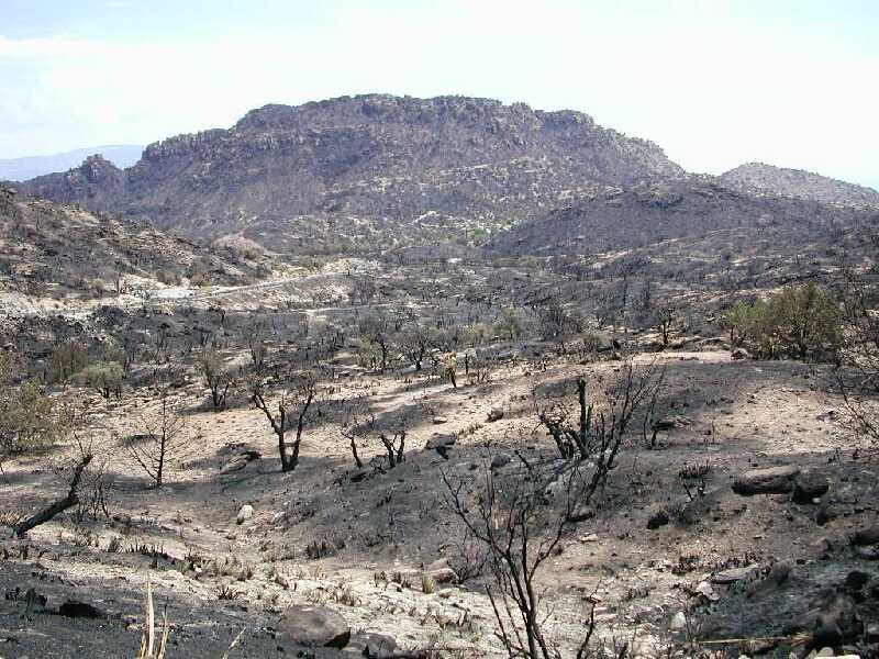
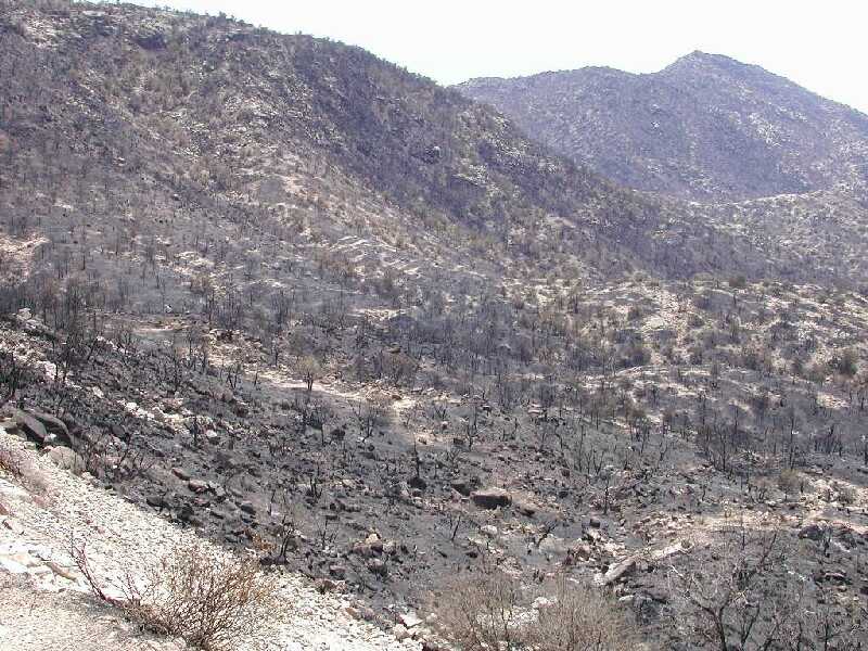
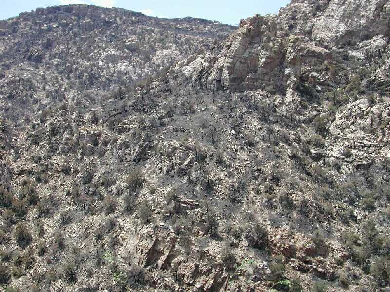
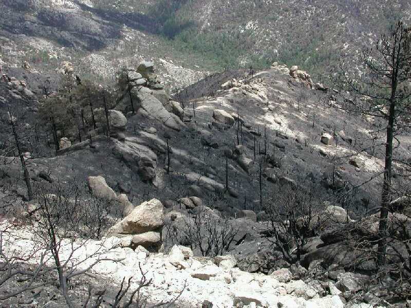
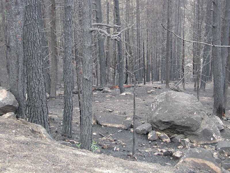
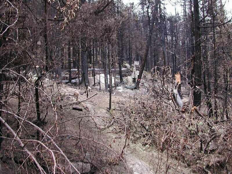
The first evidence of fire is around MP 4 where you can see some blackened grass from what appears to be back fires set to consume fuel ahead of the fire. When you turn the corner at Molino Basin you see the first major devastation. Lower Molino campground escaped (see pic 02), but the upper areas were completely torched (see pics 03, 04). The complete burn extends above Prison Camp (see pic 05) and all the way through Sabino Basin (see pics 06, 07, 08, 09). Note a few trees survived along prison camp road. In pic 08 the small clump of trees is I think Sycamore Resevoir. In pic 09 notice how the hiking trail is now totally visible and exposed. Up past 7 cataracts it looks like about 50% of the trees burned on the rugged hillsides.
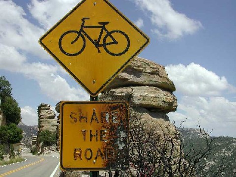
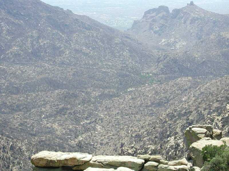
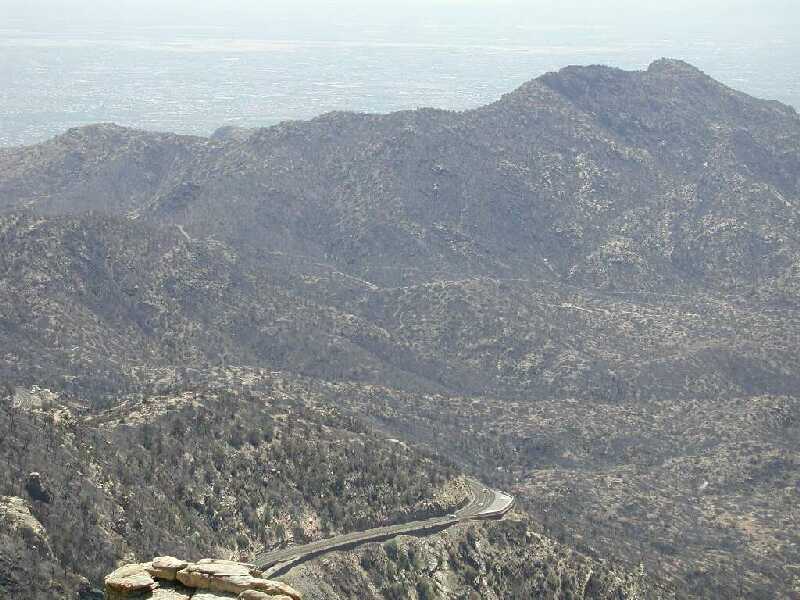
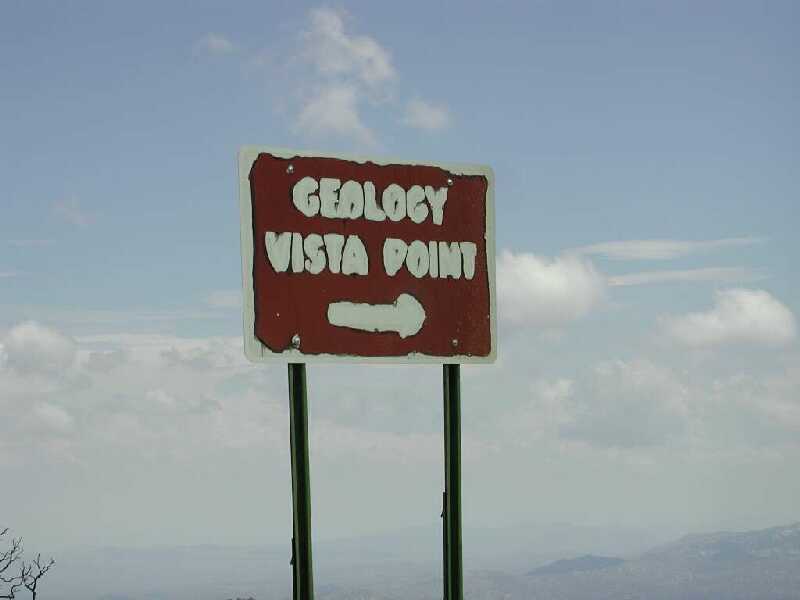
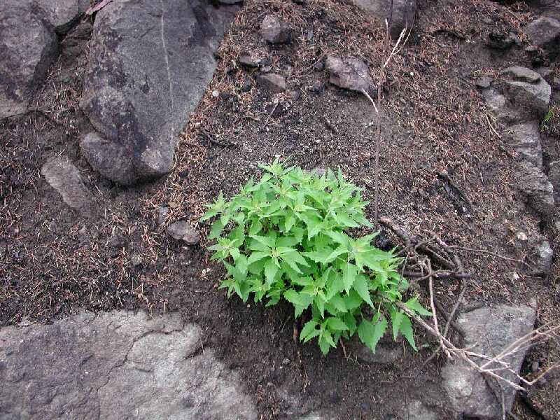
A nice surprise is that Bear Canyon seems to have escaped almost completely. I saw very little burned trees all the way through the picnic areas. On the way up to Windy Point a number of hot spots are visible. Note the partially melted share the road sign (pic 10). The hillsides below and north of Geology Vista were very hard hit. This was another area where the burn was pretty much total (see pic 12). Getting back in to the pines at around MP 17 there was very little evidence of major burns for several miles. Near Loma Linda things looked pretty green (see pic 13) which is amazing because it is so close to the burned cabins. Past the Oracle Control Rd there is a major hot burn right up to the highway (see pic 14), but amazingly, new green things sprouting up already (see pic 15).
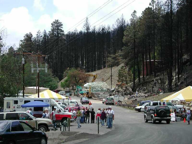
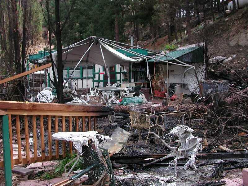
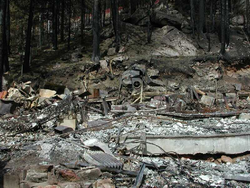
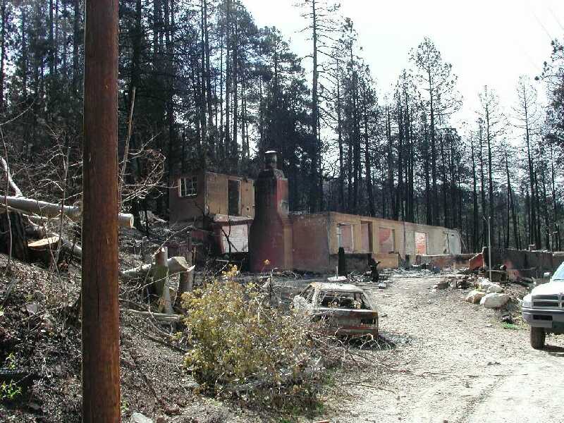
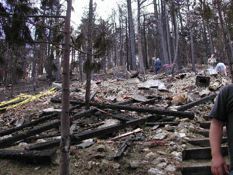
The main street of Summerhaven was not as bad as I expected (which was to see nothing green at all). See pic 16 and 17. Virtually all of the buildings were gone except the Mt. Lemmon Cafe (see pic 18) and the adjoining post office. The Alpine Inn (see pic 19) is a pile of rubble. The Mt. Lemmon Cafe patio needs to be re-built but that looks like about it. There are still green trees in Summerhaven which surprised me. All of the other shops are gone (see pic 20). Most of the cabins are completely destroyed. We helped with sandbags at one built by the owners in 1963 (see pic 21). Saw a motorcycle that burned in place (see pic 22), note the thin wires around the wheels, they are the steel cords from the tires.
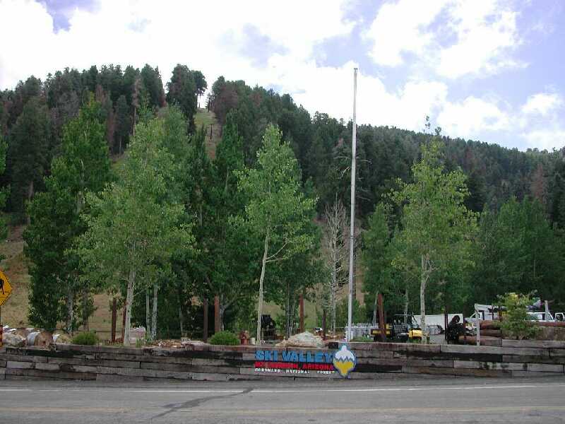
The fickle nature of the fire is pretty amazing. It was hard to understand how some cabins and trees were untouched. Up Carter Canyon Rd, one cabin was destroyed while it's neighbor was almost completely untouched (see pics 23 and 24). Driving down to the parking area at Marshall Gulch there was little burn evidence. The parking area for the Aspen Loop trail looks pretty normal (see pic 25). And finally, Ski Valley looked almost untouched (see pic 26), which I find hard to reconcile with the news reports we were getting.
 | 1. Damaged Guardrail. Note that the posts have been completely burned and the guardrail is laying on the edge of the road. |
 | 2. Lower Molino Basin. |
 | 3. Upper Molino Basin. |
 | 4. Upper Molino Basin. |
 | 5. Above Prison Camp. |
 | 6. Below Thimble Peak Overlook. |
 | 7. Above 7 Cataracts. |
 | 8. Sabino Basin. |
 | 9. Sabino Basin. |
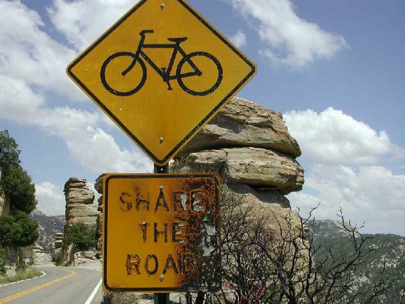 | 10. Share the Road sign. |
 | 11. Warm sign. |
 | 12. Beneath Geology Vista. |
 | 13. View from Loma Linda. |
 | 14. Near Oracle Control Rd. |
 | 15. New Hope. |
 | 16. Summerhaven main street. |
 | 17. Summerhaven hot spot. |
 | 18. Mt Lemmon Cafe. |
 | 19. Alpine Inn. |
 | 20. Other Summerhaven shops. |
 | 21. 1963 Cabin in Summerhaven. |
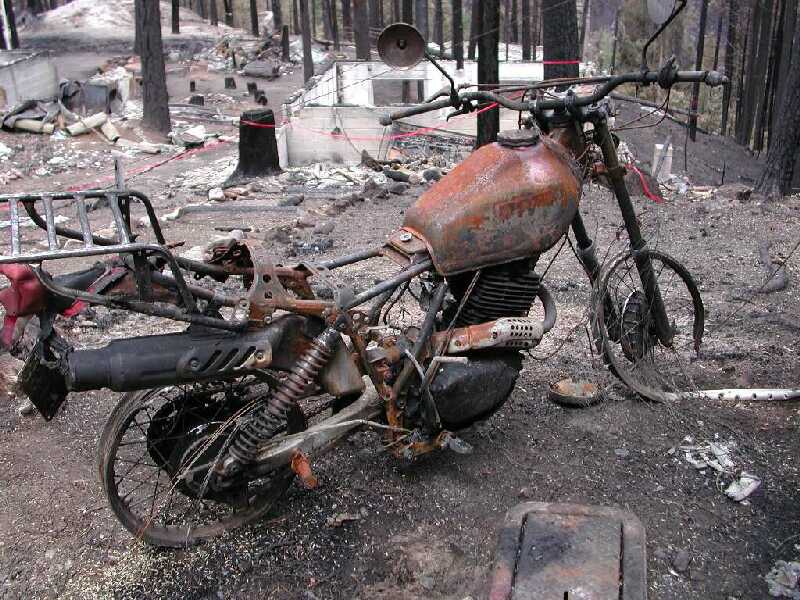 | 22. Toasted Motorcycle. |
 | 23. Carter Canyon. |
 | 24. Carter Canyon. |
 | 25. Marshall Gulch. |
 | 26. Ski Valley. |
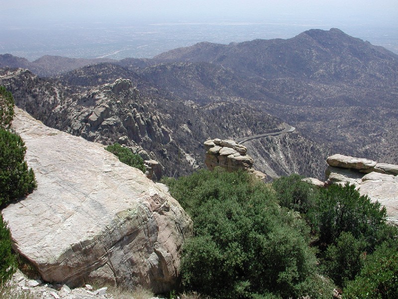
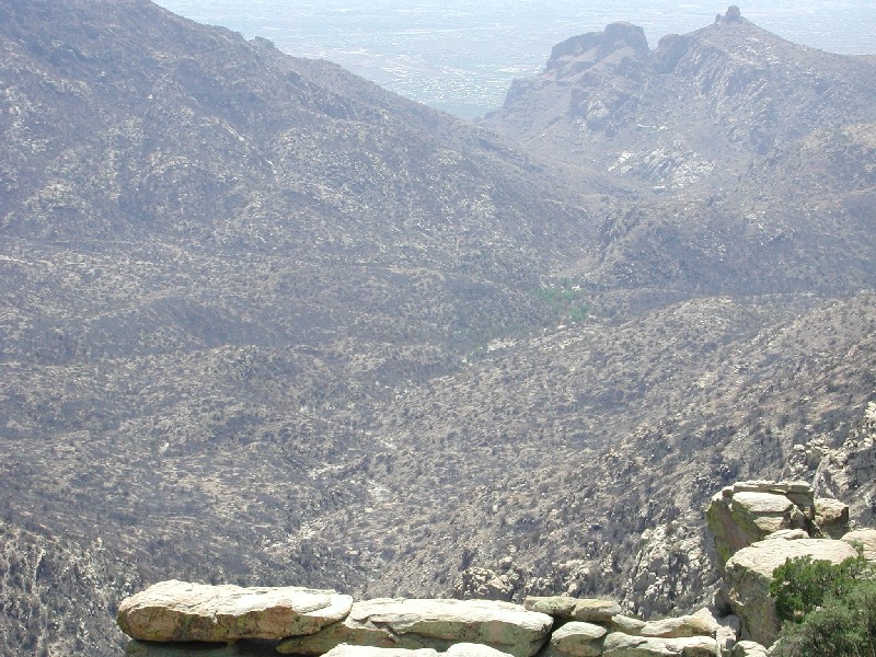
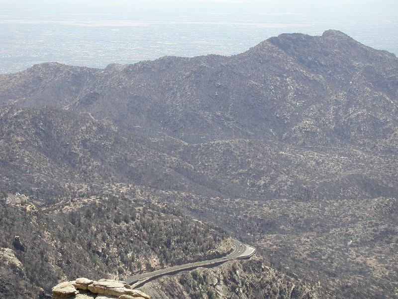
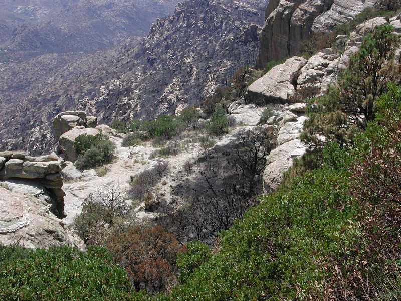
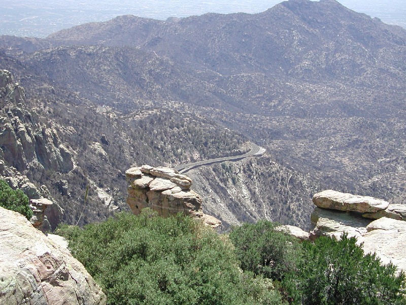
The photos shown below were taken in the Windy Point area. Most were shot about 1/4 of a mile below the Windy Point pullout.
 | View towards Thimble Peak. |
 | Another view towards Thimble Peak - Seven Cataracts pullout can be seen below. |
 | Another view towards Thimble Peak. |
 | Another view towards Thimble Peak. |
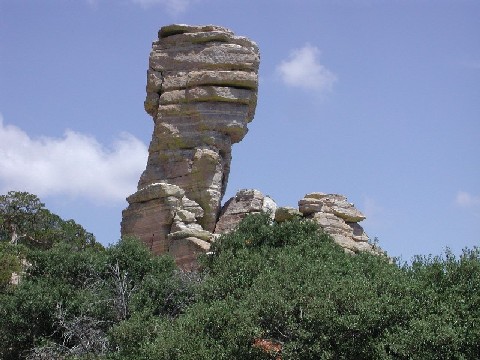
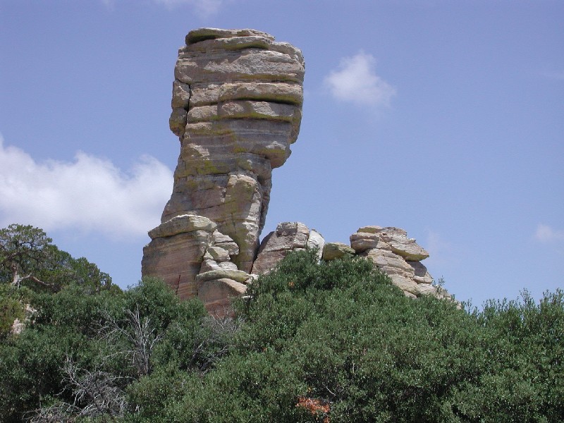 | Hitchcock Pinnacle. |
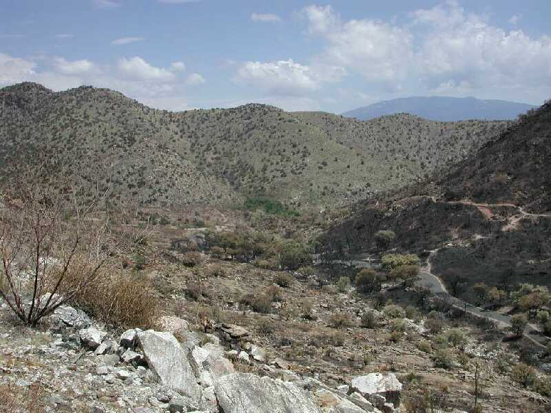
 | View towards the west - a lot of burned area below. |
 | View toward thimble peak - with green. |
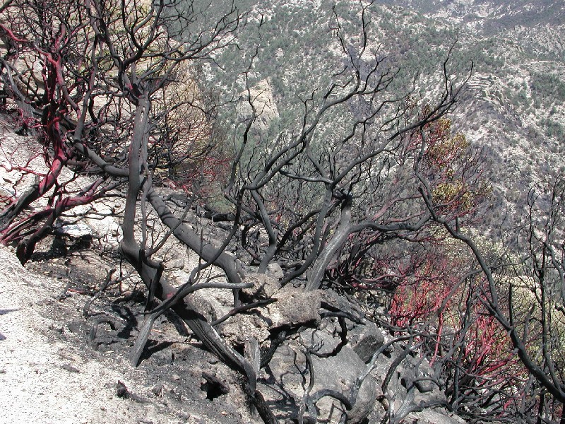 | Burned Manzanita. |
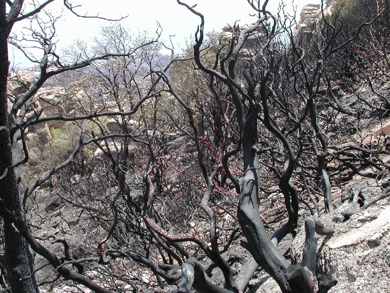 | More burned Manzanita. |